H3.jl ⬡
https://github.com/wookay/H3.jl
H3.jl provides a Julia version of H3, Hexagonal hierarchical geospatial indexing system. https://github.com/uber/h3
using H3.API
base = latLngToCell(LatLng(deg2rad(0), deg2rad(0)), 5)
rings = gridDisk(base, 1)
x = Vector{Float64}()
y = Vector{Float64}()
for boundary in cellToBoundary.(rings), geo in boundary
push!(x, geo.lng)
push!(y, geo.lat)
end
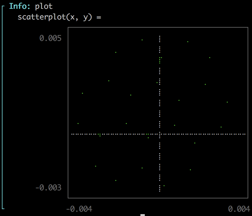
using UnicodePlots
@info :plot scatterplot(x, y)